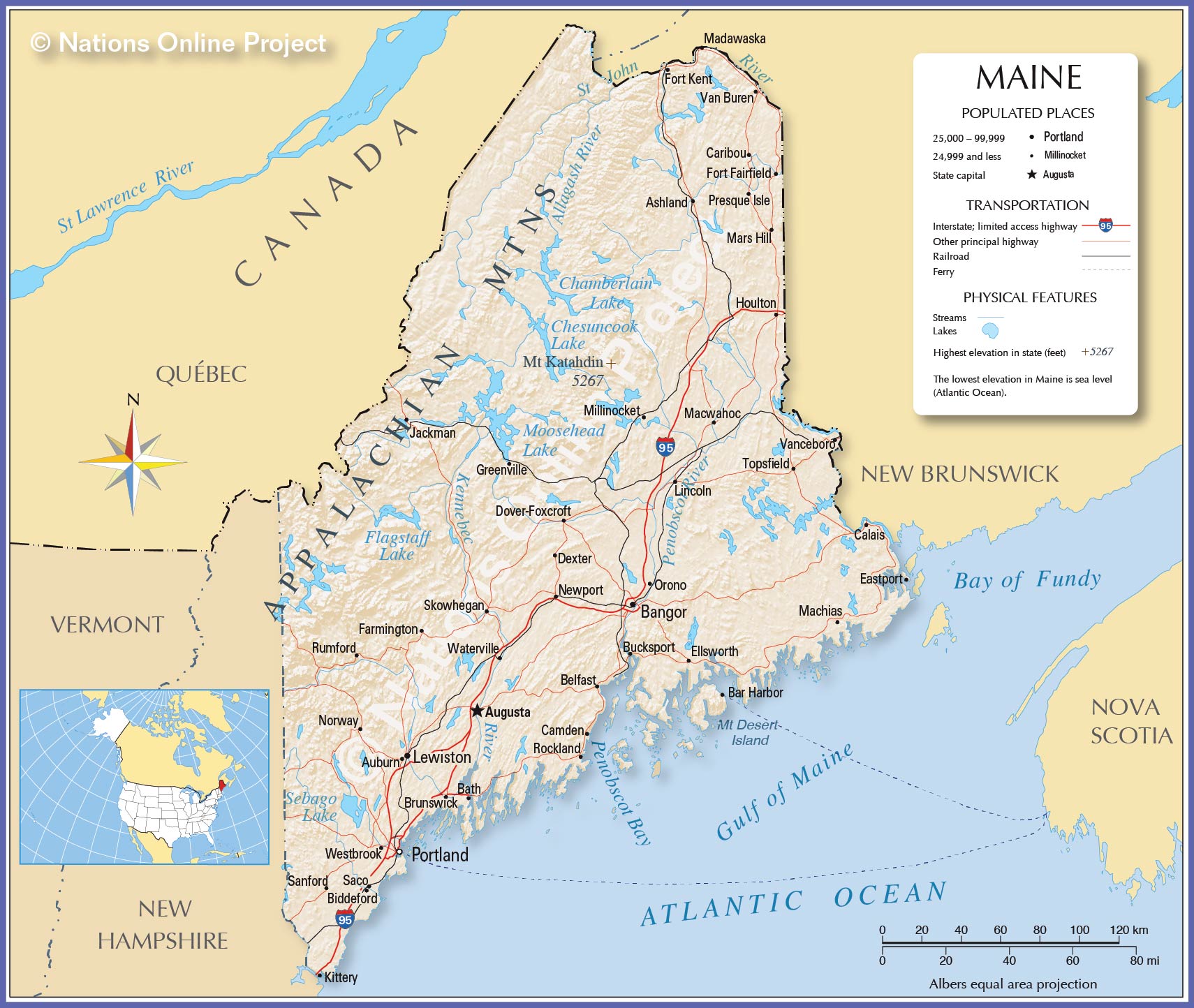
Iceland is approximately the same size as the State of Maine in the United States. It is actually about 20% larger in land area than Maine. But close enough.
If you want to visualize what Iceland is like, try this out.
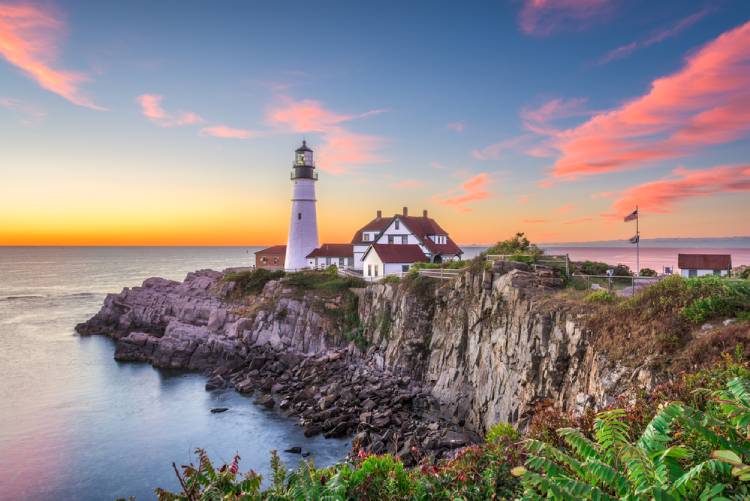
Maine has a wonderful coastline. Imagine Maine having not just one third of its boundaries along the water, but all of its boundaries (100%) are in the middle of an ocean – totally surrounded by water.
Maine is heavily forested (90%). Imagine a Maine with almost no trees. Only 2% of Iceland has trees.
Maine while one the most northern states in the US, it does not have an glaciers. The last one it had was 18,000 years ago. Imagine a Maine today where 10% of its land area is filled with significant glaciers.
Maine has 4 dormant volcanos that were formed some 420 million years ago. Imagine the state today with more than 300 volcanoes in 30 different volcano systems. And imagine that one of them erupts every three years!
Maine has 1.35 million people that live there. Imagine a Maine with only 350,000 people — 75 % less.
In Maine 2/3rds of its households use fuel oil to heat their homes. Imagine a Maine where 90% of its homes are heated by geothermal energy which is the case in Iceland.
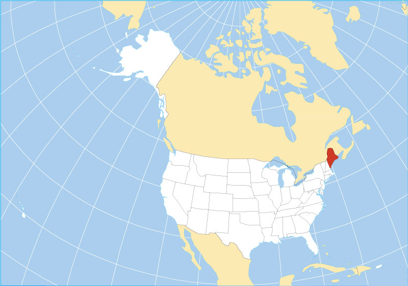
Believe it or not, it is colder and wetter in Maine than Iceland. Iceland benefits from the North Atlantic current (the Irminger Current) even though it is 20 degrees of latitude further north than Maine. One of Iceland’s outer islands is on the Artic Circle. note on the map below where Iceland is.
- average low temperature in Maine is 31 degrees Fahrenheit compared to Iceland’s 37 degrees. Maine does have an average high temperature of 53 degrees which is warmer than Iceland’s 46 degrees.
- The average annual inches of precipitation in Maine is 40, while Iceland’s is 33. Snow falls an average of 77 inches in Maine, compared to 40 inches in Iceland.
- Winds are another matter as is the variability of the weather. Both are significant in Iceland. I was not able to find data to compare with Maine however.
Maine has the Appalachian Mountain range in its western part of the state. Iceland has numerous mountain ranges covering almost 50% of its land area when you consider the lava fields associated with them. the tallest mountain in Maine is 5,300 feet. The tallest in Iceland is 6,900 feet.
Maine has 21,000 miles of public highways. Iceland has 2,700 miles of public roads – to call them highways is a little bit of a stretch. Most of the paved roads in Iceland are two lanes, with one direction each way, and with no shoulders whatsoever.
The average monthly income for a Maine resident is $ 2,839 compared to $ 3,911 in Iceland. However, the cost of living is estimated to be 33% higher in Iceland than in Maine, which about equals the difference in monthly income.
There are so many other comparisons. I have only scratched the surface. But I hope that this has given you some sense of the differences and similarities between the state of Maine and Iceland. but even more a way of visualizing what Iceland must be like. I find it fascinating. I hope you do too.
You always find a way to present facts that is both entertaining and illuminating! Thanks for the tour!
Being quite familiar with Maine this information gives a great visual for such an unfamiliar geographical spot at least to me.
Thanks for all the information and comparisons.
Your writing truly brings mind movies to the reader?
The education continues! Thanks Neil.
I mainly enjoyed this.
Thank you for your wonderful adventures.